
Norrænn netviðburður um landgerð, landnotkun og vistgerðakortlagningu
Þann 16. apríl 2026 tók Ísland þátt í skipulagningu norræns netviðburðar um landgerð, vistgerðakortlagningu, Copernicus Land og fjarkönnun jarðar. Viðburðurinn var skipulagður í samstarfi við önnur Norðurlönd sem hluti af National Collaboration Programme á vegum Copernicus Land Monitoring Service.
Fundurinn leiddi saman þátttakendur víðs vegar af Norðurlöndum og var þátttaka frá Íslandi góð. Hann var verðmætt tækifæri til að miðla þekkingu, læra af nálgunum hvers lands og ræða sameiginlegar þarfir, áskoranir og möguleg notkunartilvik.
Meðal umfjöllunarefna voru kortlagning landnotkunar og landgerðar, yfirstandandi verkefni í vistgerðakortlagningu, vistkerfabókhald, Copernicus Land Monitoring Service, evrópskir stefnu- og lagaumgjörðir, lífeðlisfræðilegar breytur og gögn um jarðhreyfingar. Viðburðurinn stuðlaði einnig að söfnun þarfa innlendra notenda og aðkomu þeirra að mótun framtíðarþróunar CLMS.
Hér má finna kynningar frá viðburðinum:
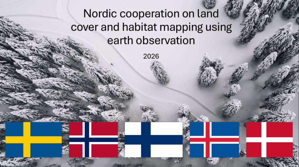

Nordic online event on land cover and habitat mapping
On 16 April 2026, Iceland took co-organized an online Nordic event on land cover, habitat mapping, Copernicus Land and Earth Observation. The event was planned together with other Nordic countries as part of the National Collaboration Programme for the Copernicus Land Monitoring Service.
The meeting brought together participants from across the Nordic region, with good participation from Iceland. It provided a valuable opportunity to exchange knowledge, learn from each other’s national approaches, and discuss common needs, challenges and potential use cases.
Topics included land use and land cover mapping, ongoing habitat mapping projects, ecosystem accounting, Copernicus Land Monitoring Services, European policy frameworks, biophysical variables and ground motion data. The event also helped collect national user requirements and involve users in shaping the future development of CLMS.
Here you find the presentations from the event:
Here the agenda of the event:
| Time | Agenda |
|---|---|
| 08:00 | Welcome and introduction Welcome and opening remarks Purpose of the meeting Meeting objectives |
| 08:15 | Presentation from the European Environment Agency (EEA) Copernicus Land Monitoring Service (CLMS) portfolioNational Collaboration Programme (NCP): why and how |
| 09:00 | Break |
| 09:10 | How we intend to implement the NCP Finland, Norway, Sweden, Iceland |
| 09:30 | Examples of good CLMS use cases SDG 15.4.2 Mountain Green Cover for Finland using CLMS products |
| 09:50 | Mentimeter questions: comments to the NCP Do you have a use case? Are you interested in participating in training? If so, what topics? Focus groups: what topics would be useful, and are you interested in participating? |
| 10:00–11:00 | Lunch |
| 11:00 | Land cover / land use mapping – Corine Land Cover 2024: different approaches, same result – National land cover v. 2.0 – Nature map: AI and remote sensing |
| 11:40 | Habitat and ecosystem mapping – Ecosystem extent account – Indicative mapping of forest habitats and high nature values – The oldest forest: developing a national map |
| 12:10 | Break |
| 12:20 | Bio-geophysical variables and ground motion data – Calculating urban greenery and canopy cover for the Nature Restoration Regulation – European Ground Motion Service |
| 12:50 | Sum up of the day – Mentimeter questions – Reflections from the participants – Proposals for joint projects between the Nordic countries |
| 13:00 | End |