
What is Copernicus?
Copernicus is the Earth observation component of the European Union’s Space programme, looking at our planet and its environment to benefit all European citizens. It offers information services that draw from satellite Earth Observation and in-situ (non-space) data.
he European Commission manages the Programme. It is implemented in partnership with the Member States, the European Space Agency (ESA), the European Organisation for the Exploitation of Meteorological Satellites (EUMETSAT), the European Centre for Medium-Range Weather Forecasts (ECMWF), EU Agencies and Mercator Océan (MOI), the European Environment Agency (EEA) and the Joint Research Center (JRC).
Vast amounts of global data from satellites and ground-based, airborne, and seaborne measurement systems provide information to help service providers, public authorities, and other international organisations improve European citizens’ quality of life and beyond. The information services provided are free and openly accessible to users.
Copernicus services
The Copernicus program, a collaboration between the European Commission and the European Space Agency, offers six essential services:
These services utilize satellite and ground-based data to support policy-making and improve environmental and human security.

Copernicus Land Monitoring Services (CLMS)
Tracks land use, vegetation, and urban planning to support environmental management.

Copernicus Marine Monitoring Services (CMEMS)
Offers insights into ocean conditions, marine ecosystems, and coastal activities.

Copernicus Atmospheric Monitoring Services (CAMS)
Provides data on air quality, solar radiation, and climate change.

Copernicus Climate Change Services (C3S)
Delivers information on climate trends, adaptation, and mitigation strategies.

Copernicus Emergency Management Services (CEMS)
Supplies timely data for disaster response and risk management.

Copernicus Security Services (CSS)
Enhances border surveillance, maritime safety, and crisis prevention.

Copernicus In Situ Component (InSitu)
Local observations and geospatial reference data for calibration and more.
Thematic Hubs

Provides data to monitor environmental factors affecting public health, such as air quality, UV exposure, and climate impacts on disease patterns.

Offers information on coastal dynamics, sea level changes, and coastal ecosystem health, supporting sustainable coastal zone management and marine spatial planning.

Supplies data on solar and wind resources, biomass potential, and energy infrastructure, aiding in the optimization of renewable energy production and energy efficiency.

Delivers comprehensive data on Arctic ice cover, permafrost, and ecosystem changes, supporting climate research, environmental monitoring, and sustainable development in the Arctic region.
Sentinel satellites
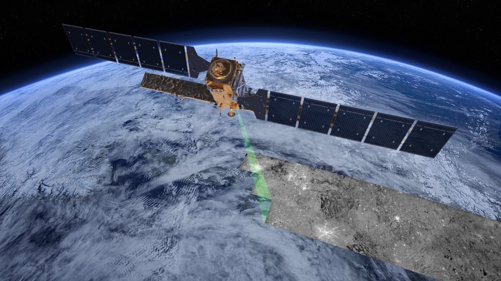
The Sentinel satellites are a key component of the European Union’s Copernicus program, designed for Earth observation. They provide continuous, high-resolution data on land, oceans, and atmosphere. With different missions, the Sentinel fleet monitors climate change, natural disasters, deforestation, and pollution, supporting environmental protection and disaster management efforts globally.