What is the Copernicus Programme?
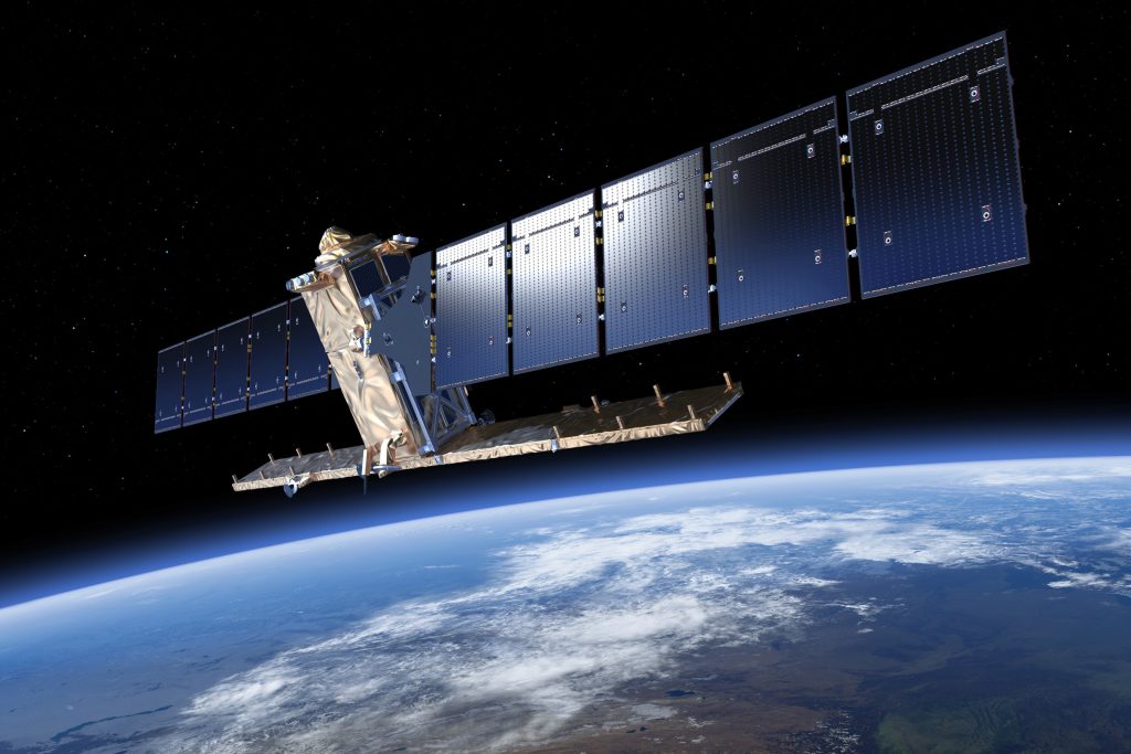
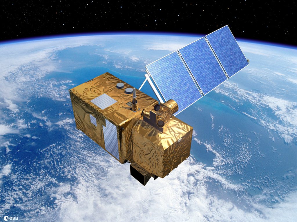
The Copernicus program, initiated by the European Union, provides accurate and timely data on Earth’s environment. Utilizing a network of satellites and ground-based systems, it monitors climate change, land, sea, and air conditions, supporting sustainable development and enhancing public safety across Europe and globally
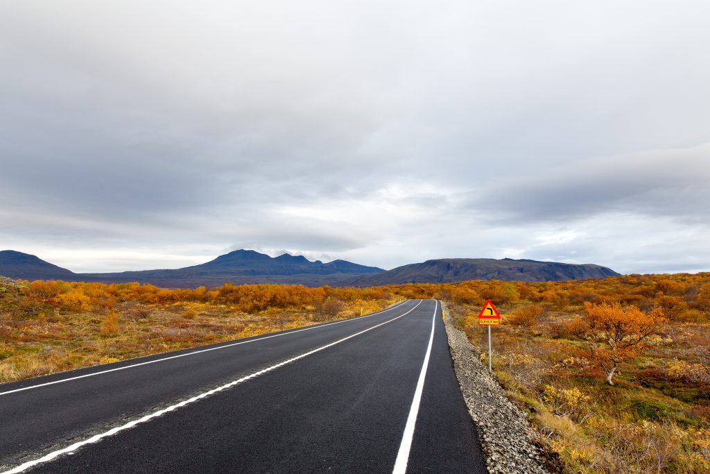
Iceland and Copernicus
CAMS NCP Iceland aims to enhance Iceland’s air quality monitoring and public awareness of environmental challenges like dust storms and volcanic ash. By integrating CAMS data with in-situ measurements, the project provides valuable insights into atmospheric conditions.
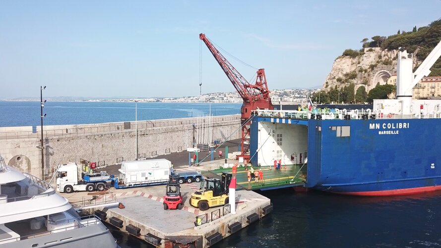
Launched in June 2025, Blue North is Iceland’s first project under the Copernicus Marine National Collaboration Programme (Lot 3). Lead by the University of Iceland in collaboration with the Natural Science Institute of Iceland and the Icelandic Ocean Cluster. It aims to boost marine data literacy and user engagement, supporting national implementation of EU policies.
The Natural Science Institute of Iceland is joining the Copernicus Land Monitoring Service (CLMS) National Collaboration Programme (NCP) to promote the use of CLMS data in Iceland. The project will focus on raising awareness, engaging national users, and developing Iceland-specific use cases.
The Icelandic Meterological Office participates in the National Collaboration Programme (NCP) from the Copernicus Climate Change Monitoring Service (C3S).
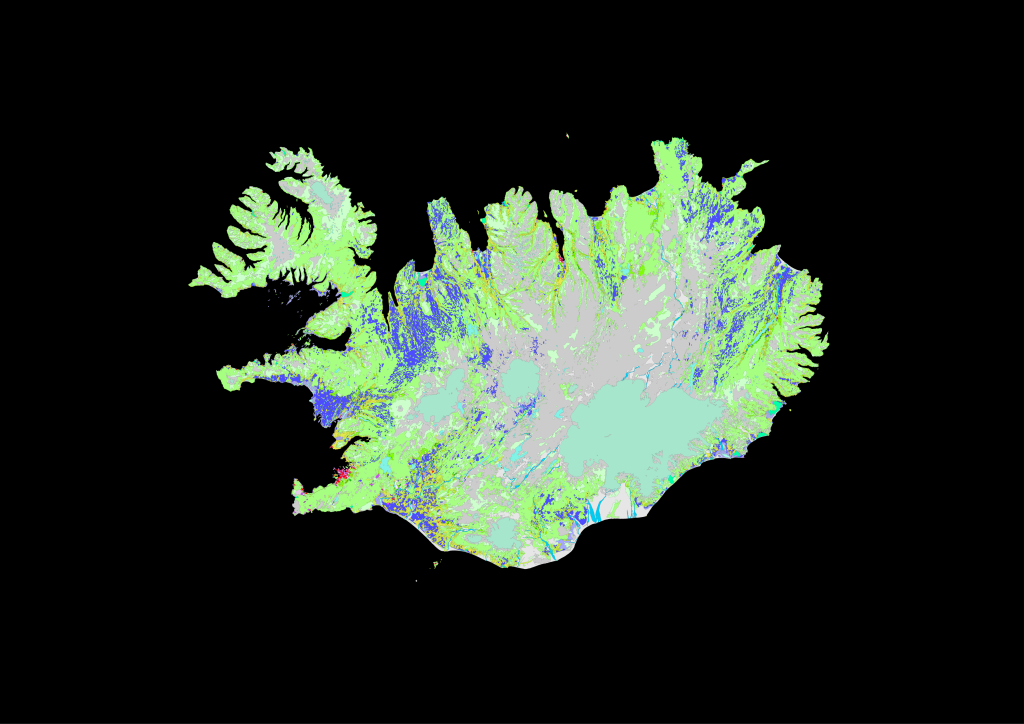
CORINE is a Copernicus initiative focused on land cover mapping across Europe. It provides detailed data on land use changes, crucial for environmental planning and monitoring. Iceland participates in CORINE by contributing data on its unique landscapes, aiding in tracking changes due to natural events and human activities.
FPCUP, or the Framework Partnership Agreement on Copernicus User Uptake, was an initiative funded by the European Union. It aimed to initiate more use of Copernicus data and services in Iceland and raise awareness about social and economical benefits that Iceland can get from Copernicus. The project ended in 2025.
Opportunities
Discover the ocean around Iceland! With Copernicus Marine data, you gain insight into currents, temperature, ice, and ecosystems that help us understand changes and protect the ocean’s resources.
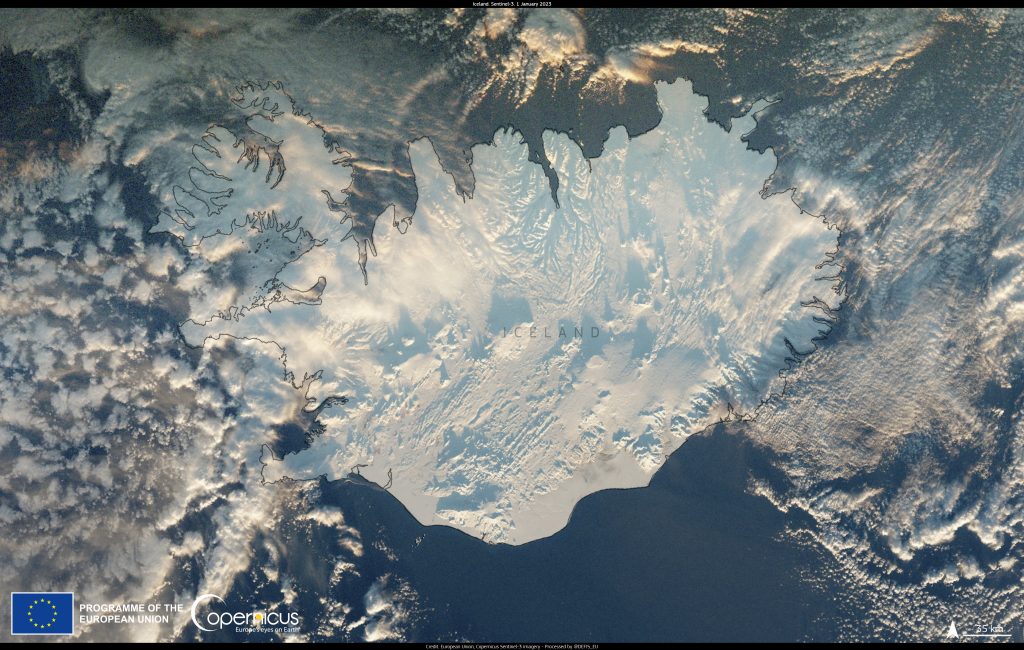
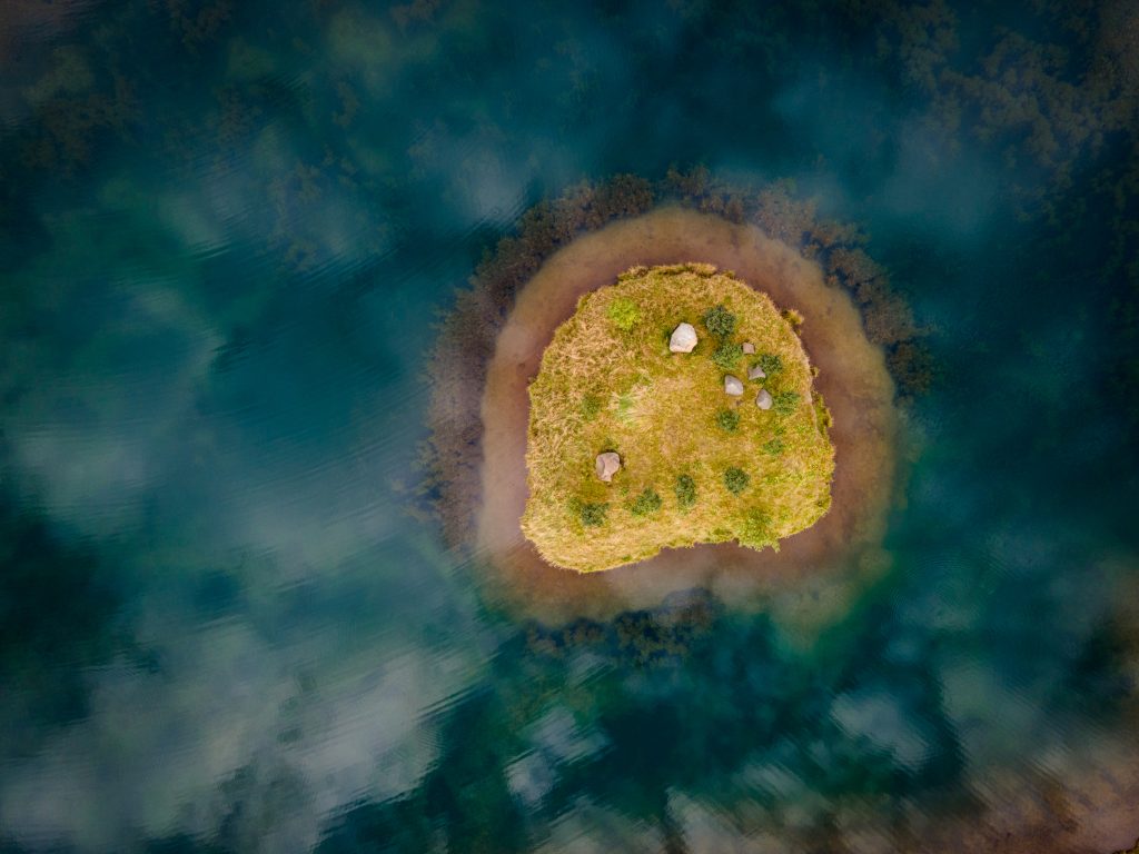
See iceland from above, learn about the changes and discover new perspectives in the Copernicus archive.
Find the image of the day here.
Explore Copernicus services related to Iceland and discover how satellite data helps us understand and protect our environment, nature, and planet. Start your journey today!

Copernicus, powered by Sentinel satellites, provides real-time data on floods, droughts, fires, and volcanic eruptions, enabling rapid response and long-term resilience planning by delivering accurate, actionable insights during natural disasters.
Example: Holuhraun eruption 2014

Find out more how Copernicus is promoted through the FPCUP initiative. It is active in Iceland and around the globe to help users to start using Copernicus data and services.
Many opportunities are available through Copernicus to learn, develop, get support and funding for your project and ideas.
CASSINI is a European Union initiative that supports entrepreneurs, startups, and SMEs in the space industry during the period 2021-2027. It covers all areas of the EU space program and includes a €1 billion growth fund, hackathons, prizes, an accelerator, and networking opportunities.
News from Iceland
- Ný skýjalaus Sentinel 2 mósaíkmynd af Íslandi
 Náttúrufræðistofnun hefur unnið nýtt skýjalaust miðgildismósaík af Íslandi með breyttum Copernicus Sentinel-2 gögnum frá júlí og ágúst árin 2023, 2024 og 2025. Mósaíkið var unnið með því að reikna miðgildi… Read more: Ný skýjalaus Sentinel 2 mósaíkmynd af Íslandi
 - Copernicus EU Website migration
 Aðalvefur Copernicus, www.copernicus.eu, verður settur í varðveislu 25. júní 2026. Frá þeim degi verður notendum sem heimsækja vefinn sjálfkrafa vísað áfram á Copernicus-síður nýja EU Space-vefsins á https://eu-space.europa.eu/. Þessi breyting… Read more: Copernicus EU Website migration
 - Sentinel 2A extended until end of 2026
 Framlenging Sentinel-2A leiðir til tíðari athugana yfir Íslandi Sentinel-2A-gervihnötturinn, elsti gervihnötturinn í Sentinel-2-stjörnumerkinu, mun halda áfram starfsemi til loka árs 2026. Þessi framlenging þýðir að Sentinel-2A mun starfa samhliða Sentinel-2B… Read more: Sentinel 2A extended until end of 2026
 - Nordic cooperation on land cover and habitat mapping using earth observation
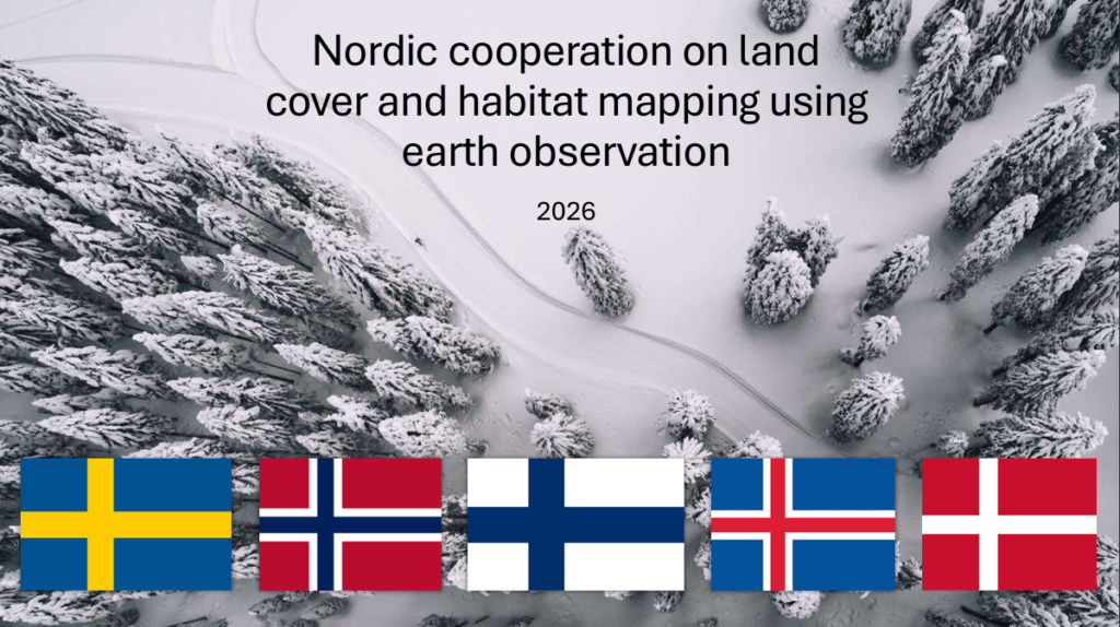 Norrænn netviðburður um landgerð, landnotkun og vistgerðakortlagningu Þann 16. apríl 2026 tók Ísland þátt í skipulagningu norræns netviðburðar um landgerð, vistgerðakortlagningu, Copernicus Land og fjarkönnun jarðar. Viðburðurinn var skipulagður í… Read more: Nordic cooperation on land cover and habitat mapping using earth observation
 - Iceland signed agreement for GOVSATCOM and IRIS2
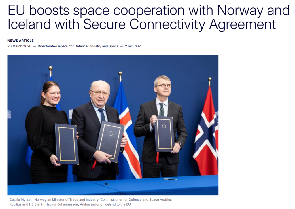 Ísland og Noregur hafa undirritað samning við Evrópusambandið um þátttöku í GOVSATCOM og áætluninni um örugga tengingu, IRIS². Samningurinn mun styrkja örugga gervihnattatengingu fyrir opinber yfirvöld, neyðarþjónustu, hættustjórnun, viðbrögð við… Read more: Iceland signed agreement for GOVSATCOM and IRIS2
News – Copernicus & ESA
- Earth from Space: Grand Canyon, US
- Watch: Earth Explorer 12 User Consultation Meeting
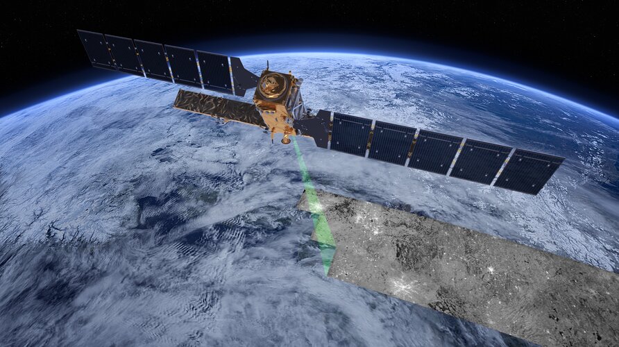
- FLEX and Sentinel-3C bound for launch site
- Authorisation paves the way for Aeolus-2 wind mission

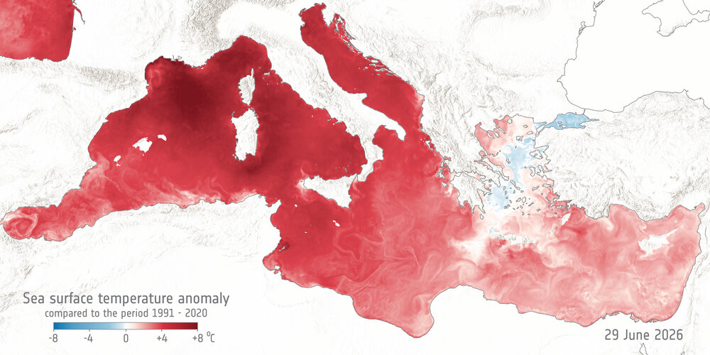
- Mediterranean Sea breaks June surface heat record
- Time to say goodbye to Sentinel-1A
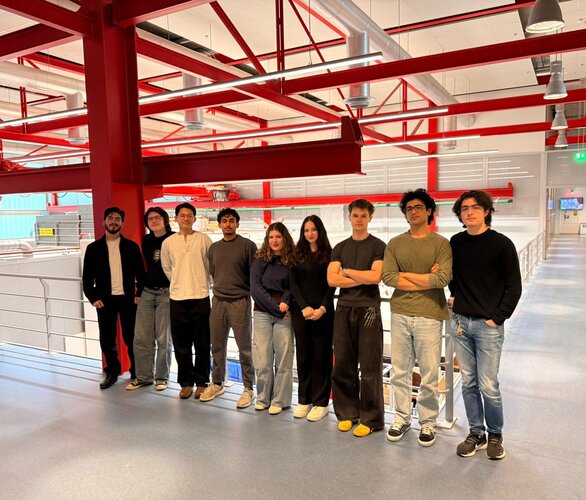
- Meet the Team: RobOcto
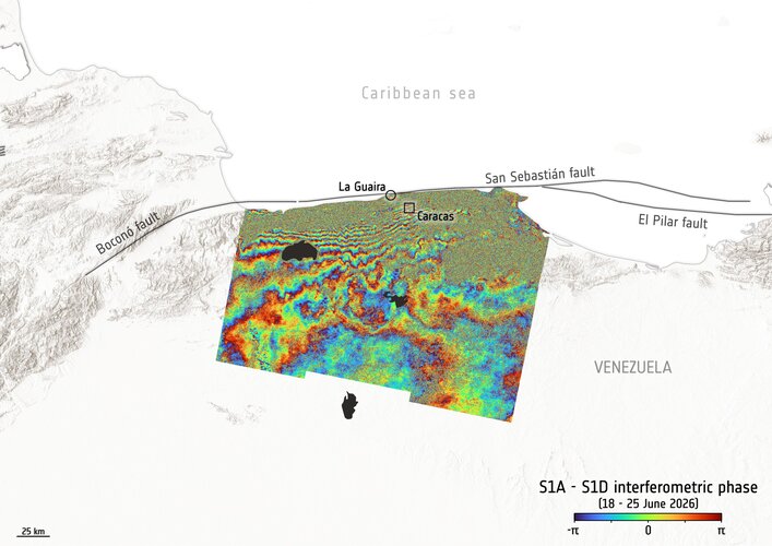
- Sentinel-1 shows ground displacement after Venezuela earthquakes
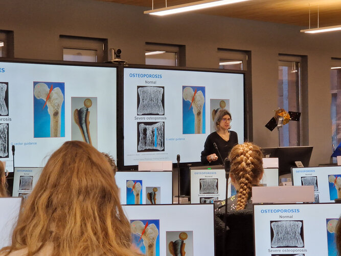
- Human Space Physiology Training Course 2026
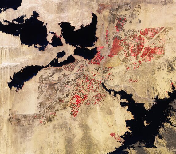
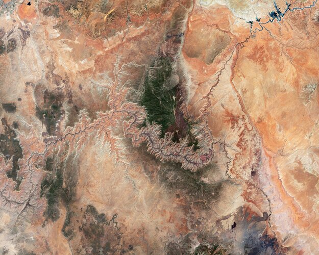
- Earth from Space: Desert cropland