About
The Copernicus Marine Service, part of the EU’s Copernicus Programme, provides free and reliable information about:
🔵 Blue Ocean
Physical data
Example: Ocean Currents
⚪ White Ocean
Sea ice
Example: Sea Ice change
🟢 Green Ocean
Biogeochemical
Example: Clorophyll activity
Funded by the European Commission and implemented by Mercator Ocean International, it supports EU policies, international commitments, and the Blue Economy.
Its high-quality data contributes to marine protection, pollution control, maritime safety, sustainable ocean use, climate monitoring, and more. The service also helps raise public awareness by offering open access to global and regional ocean data, empowering citizens, researchers, and industries with vital ocean knowledge.
Potential Stakeholders
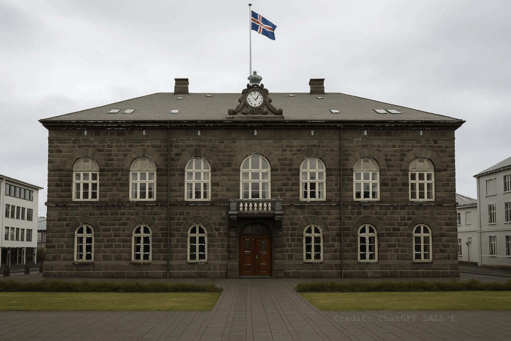
Policy Makers
Support decisions making with a readily processed data and services. Access oceans of knowledge at your finger tip.
Check out the available policy tools from Water Framework to Blue industry.
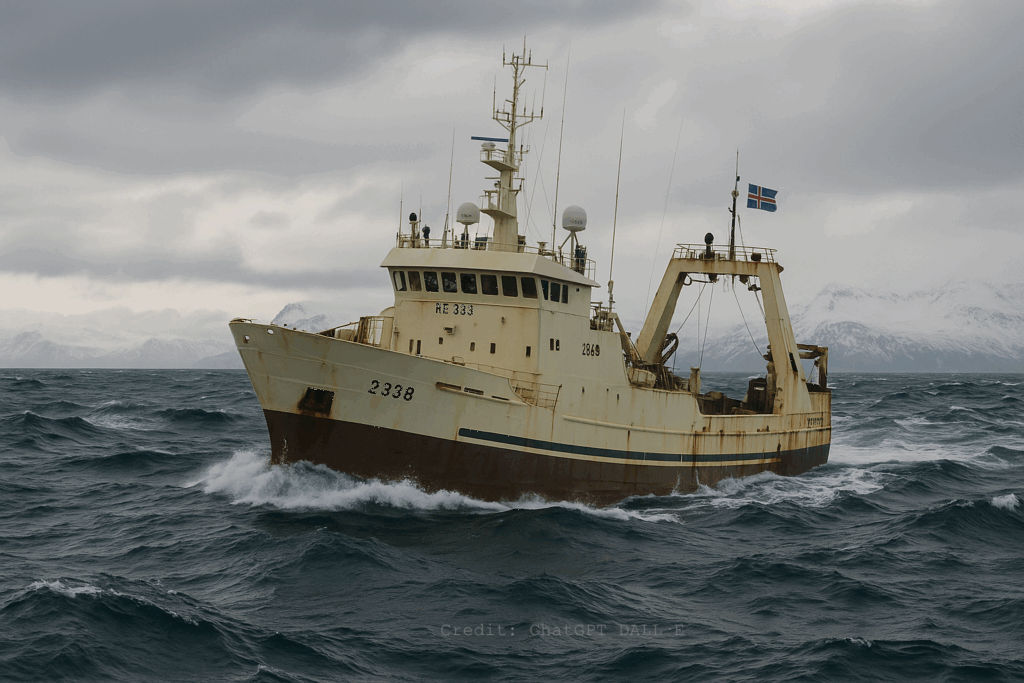
Ship Crew
Prediction of ocean conditions for safer navigation from swells to plankton concentration for a better catch.
Check out how GreenFish startup uses AI and Copernicus Data.
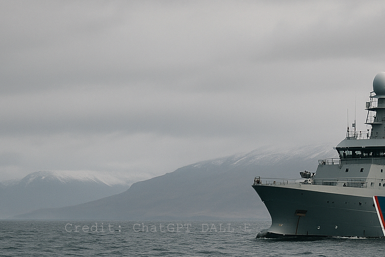
Emergency Responders
Readily respond based on forecasts to prepare for natural threats and asses the likelihood of vulnerability in specific regions.
Check out how Hefring Marine startup uses the data to minimize ship damage.
Marine Scientists
Get access to vast amounts of pre-processed data ranging from Satellite, in-situ, and numerical model-based for your research and project.
Find the right marine dataset to support your research.
Environmental monitoring
Detect changes in sensitive environments including tracking plastics in the sea, harmful emissions or oil spills.
Check out the Ocean Monitoring Indicaors.
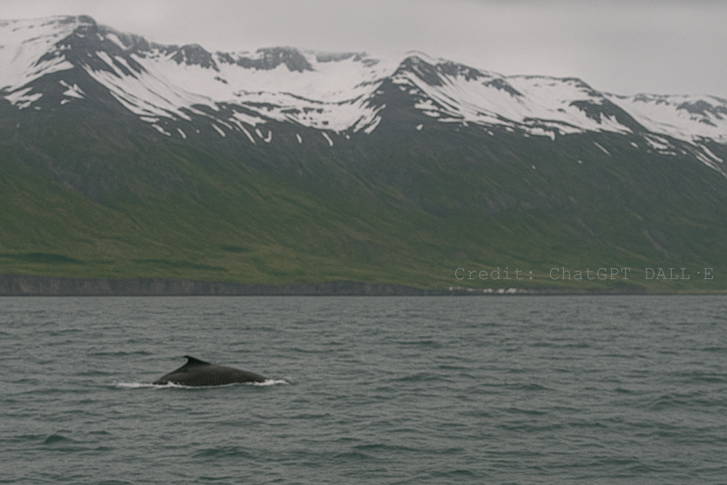
Tourism
Check sea water temperature, significant wave height and tidal times for your tours.
Find how you can support your receation or tourism acitivties with the right data.
Find out how other stakeholders and users of Copernicus Marine around the world use the data and services and find the usecase that suits you.
Blue North
Copernicus Marine NCP
Launched in June 2025, Blue North is Iceland’s first project under the Copernicus Marine National Collaboration Programme (Lot 3) implemented by Mercator Ocean International. Lead by the University of Iceland in collaboration with the Natural Science Institute of Iceland and the Icelandic Ocean Cluster.
It aims to boost marine data literacy and user engagement, supporting national implementation of EU policies. Activities include:
User Forum

International Seminar
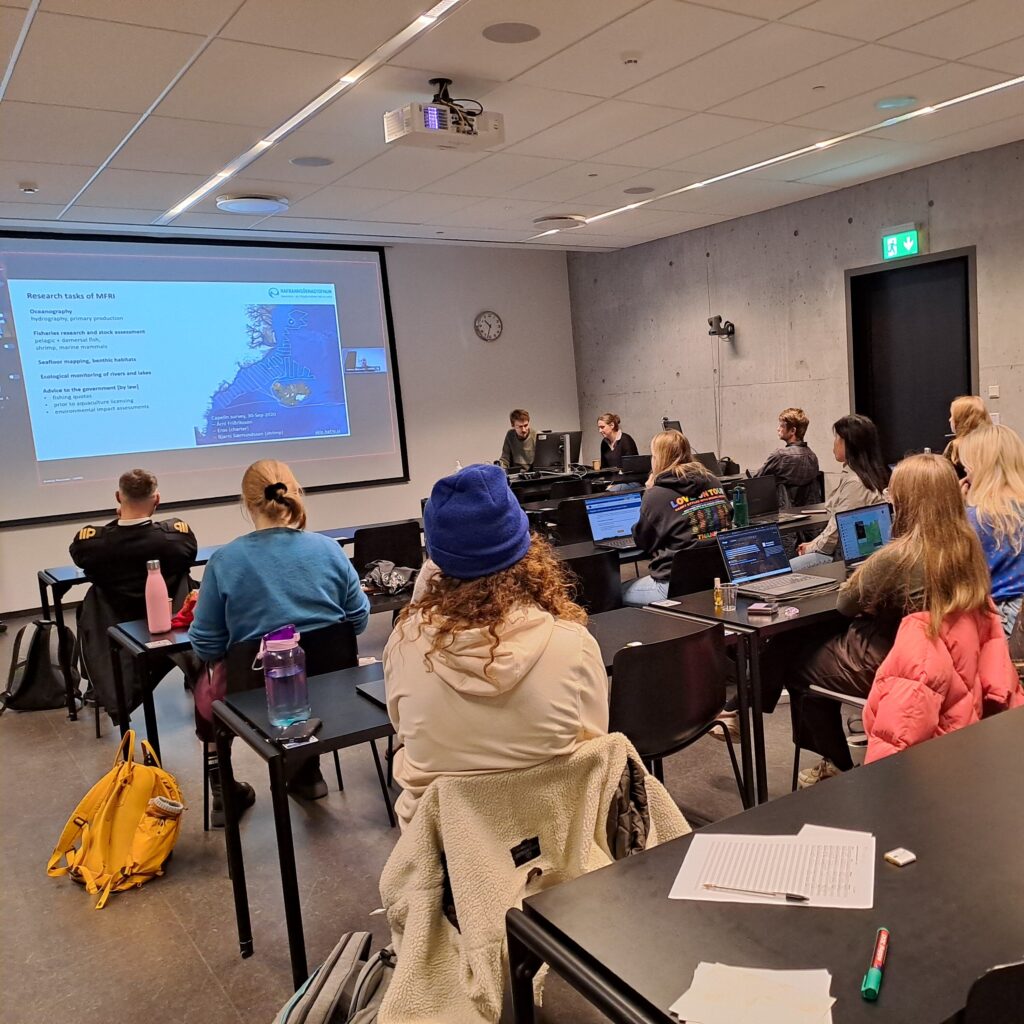
Training Workshop
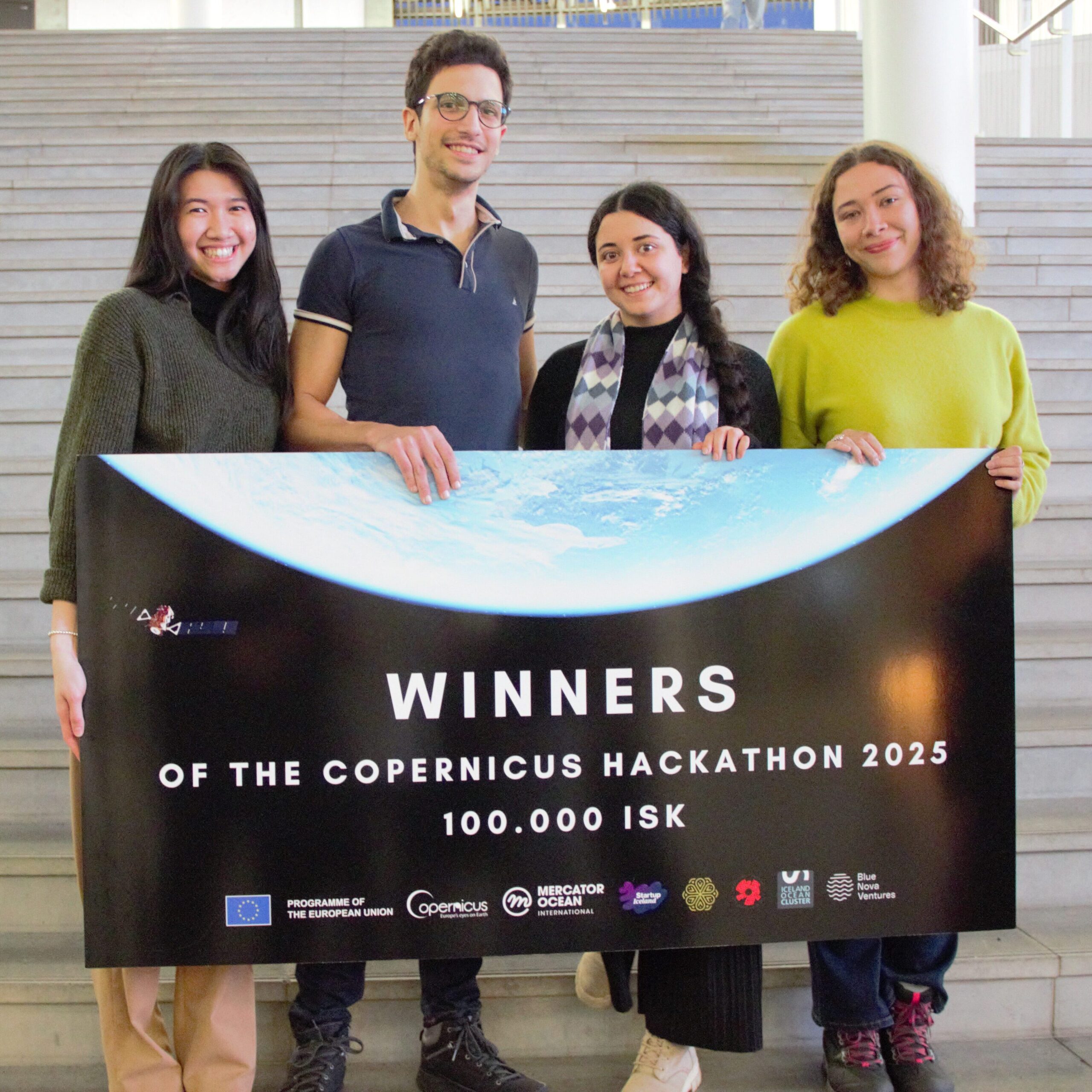
Ocean Hackathon
These initiatives build capacity, foster innovation, and promote access to marine data for sustainable fisheries, coastal monitoring, and ocean governance. Blue North Project strengthens Iceland’s position within the Copernicus community and enhances the national material with Icelandic-language resources and real-world marine applications.
Example Use Cases
Sea Ice Monitoring
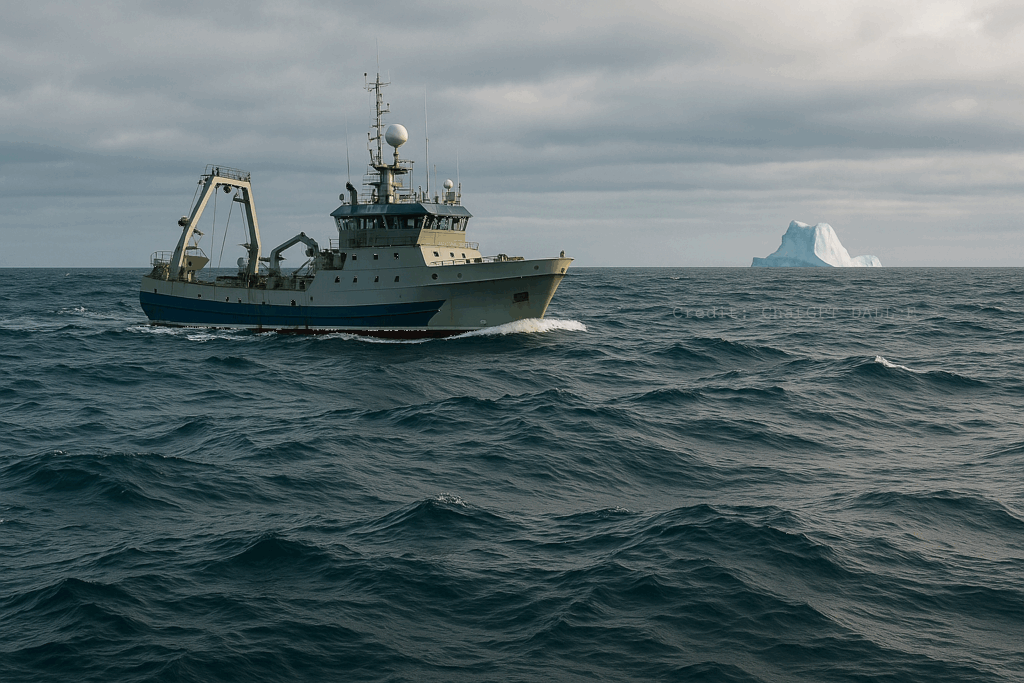
Monitor drifting sea ice, the age of the ice, its path and more using the Copernicus Marine services.
Tracking Plastic
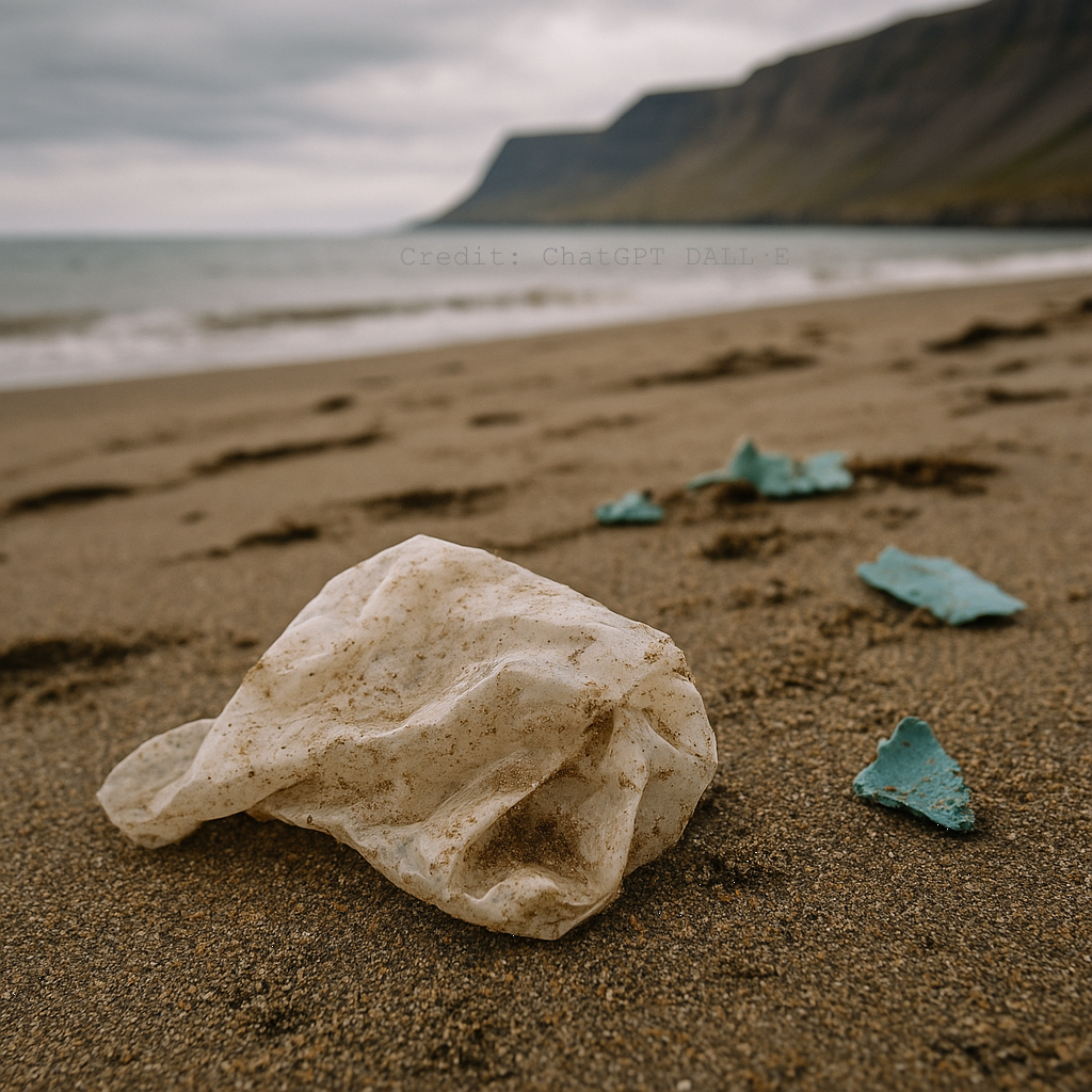
The marine data can be used to track plastic origin and plastic pathways in the ocean. Explore it here by setting a point where your plastic is starting from and see where it will end up over time. Or change setting to “Origin of Plastic” to see where it comes from.
Biological Monitoring
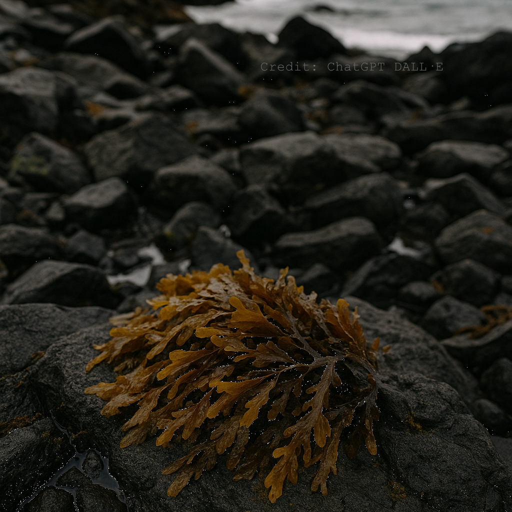
Understanding the parameters that affect a specific sea species and its migration might allow for forecasting capabilities. Here an example from the Sargassum seaweed.
Oceans of Data
Access the Data
Directly access the data in the Marine Data Viewer. Switch to Full Viewer  to direct access to all available datasets and download.
Find more visualization tools here: https://marine.copernicus.eu/access-data/ocean-visualisation-tools
Learn
Start accessing and learning about the Copernicus Marine datasets and services in a fun and interactive way. Explore the different learning opportunities.
Copernicus Marine News

- The 10th Ocean State Report (OSR) from the Copernicus Marine Service is now available, marking a decade of authoritative ocean science. Published alongside its summary, and a special anniversary supplement, this year’s edition reveals how the ocean has changed over the past decade and what that means for ecosystems, communities and policymakers.
- On 15 September 2026, Copernicus Sentinel-3C launched from Europe’s Spaceport in French Guiana, joining its two sister satellites in orbit. Carrying three complementary instruments for measuring ocean colour, sea surface temperature and sea level, the new satellite strengthens Europe’s ability to monitor a rapidly changing ocean.
- On 30 September 2026, the 10th edition of the Copernicus Ocean State Report will be released, marking a decade of authoritative ocean science. But what is the Ocean State Report, how is it produced, and why does it matter? Read on to find out what to expect from this year's anniversary edition.
- Ocean currents are the planet's circulatory system, transporting heat, nutrients and life across the globe, shaping climates and sustaining fisheries. Discover how they work and explore them in near real time with the Copernicus Marine MyOcean Viewer.
- The Champion User Advisory Group (CUAG), a group of 21 independent experts shaping the future evolution of products and services of the Copernicus Marine Service, gathered in Brussels from 9 to 12 June for Digital Ocean Week.
- From Australian gliders to German research vessels and a historic sailing ship, the Copernicus Marine In Situ TAC keeps connecting a global ocean observing network, turning diverse, international ocean observations into a single, consistent scientific resource.
Use Cases News
- Coastal zones are increasingly exposed to the impacts of climate change and more frequent extreme marine events. In Spain, where a large share of the population, infrastructure, and economic activity is located along the coastline, understanding and managing coastal vulnerability has become a priority for public authorities, environmental agencies, and coastal planners.This case focuses on […]
- The northwest Iberian coast is influenced by a low‑salinity water mass formed by river discharges, known as the Western Iberia Buoyant Plume (WIBP). This plume influences coastal circulation, stratification, and upwelling, creating nutrient‑rich zones that support high biological productivity. Understanding how the WIBP behaves is essential for marine spatial planning and water‑quality management. WHISTLE provides […]
- Coastal regions of small and mountainous oceanic islands such as Madeira are highly vulnerable to what happens on land. Heavy rain, steep slopes and limited wastewater treatment mean that nutrients from agriculture, urban areas and streams can rapidly reach the coastal ocean. These inputs can trigger algal blooms, reduce water quality and disturb fragile coastal […]
Open Tenders
Find open tenders from Copernicus Marine and catch the opportunity.
Find tenders here: https://www.mercator-ocean.eu/about-us/work-with-us/calls-for-tender/