-
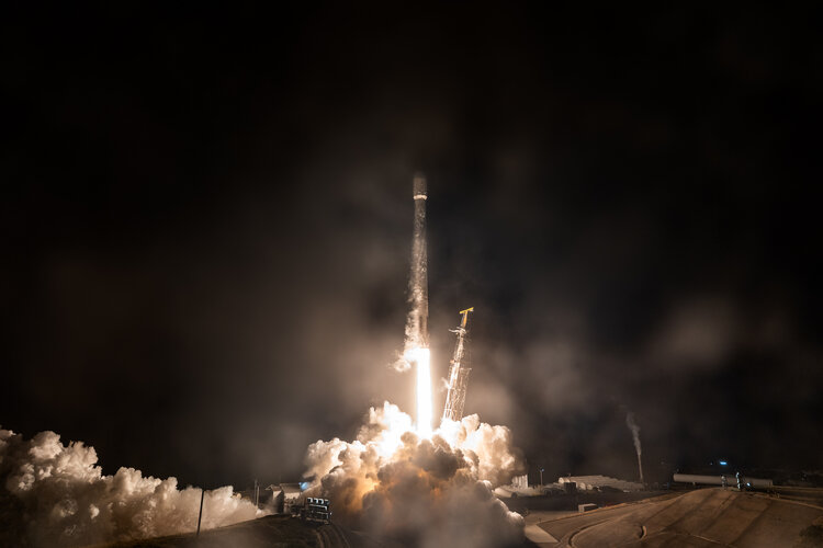
Hellenic Fire System satellites launched for Greece
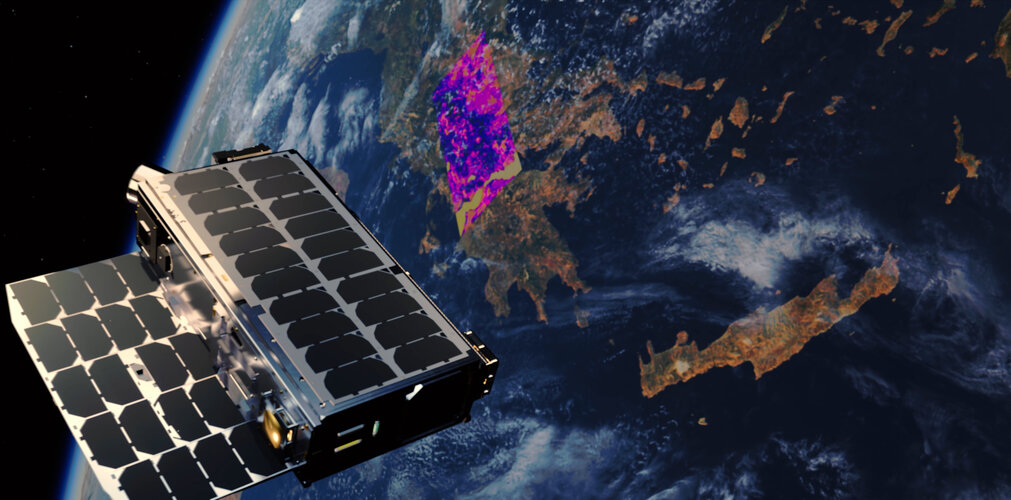
A constellation of four new satellites has been launched for Greece, marking a world first for a national satellite capability dedicated to wildfire detection and tracking. The mission is the result of cooperation between the Greek government, private satellite company OroraTech and the European Space Agency (ESA), supported through the EU-funded Recovery and Resilience Facility.
-
Sentinel-1D goes live: a milestone for Europe’s radar mission
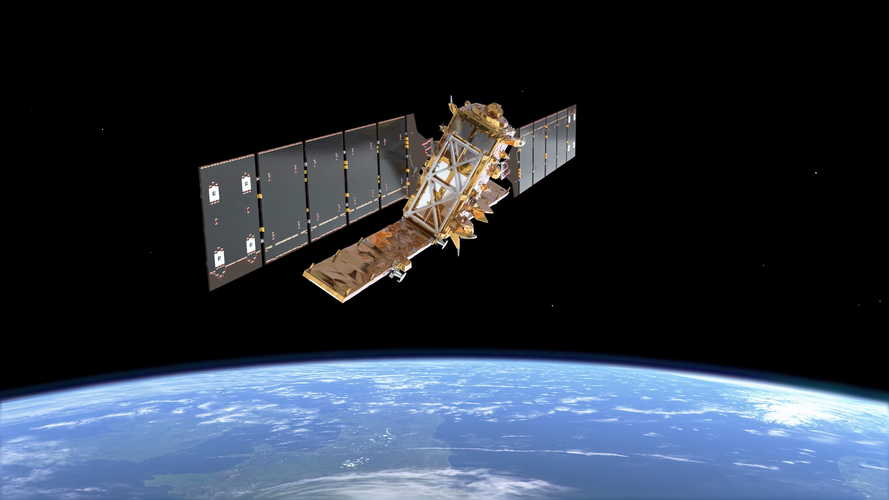
The Copernicus Sentinel-1D satellite, launched last November, is now fully operational after successfully completing its critical in-orbit commissioning phase. With all four Sentinel-1 satellites having now been deployed, this achievement marks a major milestone for this flagship radar mission – a journey that began more than a decade ago and that has helped pave the…
-
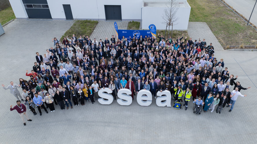
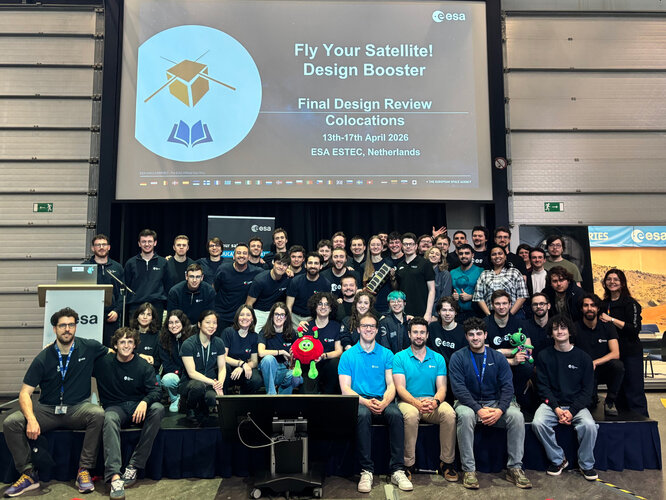
Fly Your Satellite! teams gather in Munich
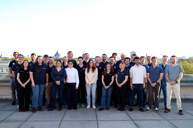
The 5th Symposium on Space Educational Activities (SSEA), held in Munich, brought together a wide community of students, space professionals and enthusiasts, and among them, a very special group: the teams participating in the third and fourth cycles of ESA’s Fly Your Satellite! programme, who gathered at a dedicated Fly Your Satellite! event. The aim was…
-
Sponsorship for ISEB student program and IAC 2026
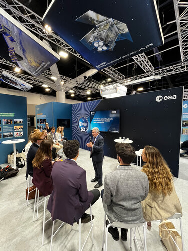
In the frame of the ESA Academy’s Engagement Programme, ESA Education offers European tertiary education students the opportunity to attend the International Space Education Board’s (ISEB) Student Program in conjunction with the International Astronautical Congress (IAC). This year’s IAC will be held from 5 to 9 October 2026 in Antalya, Turkey.
-
Stunning images from Biomass mark its one year in orbit
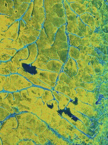
To mark the first anniversary of the European Space Agency’s Biomass satellite, we present a selection of striking images captured over the past 12 months, revealing Earth’s forests, and much more, in new detail. In just one year, this pioneering mission has begun transforming our understanding of forest dynamics and advancing how scientists monitor the…
-
Apply for Earth Observation Satellite Systems Design Training
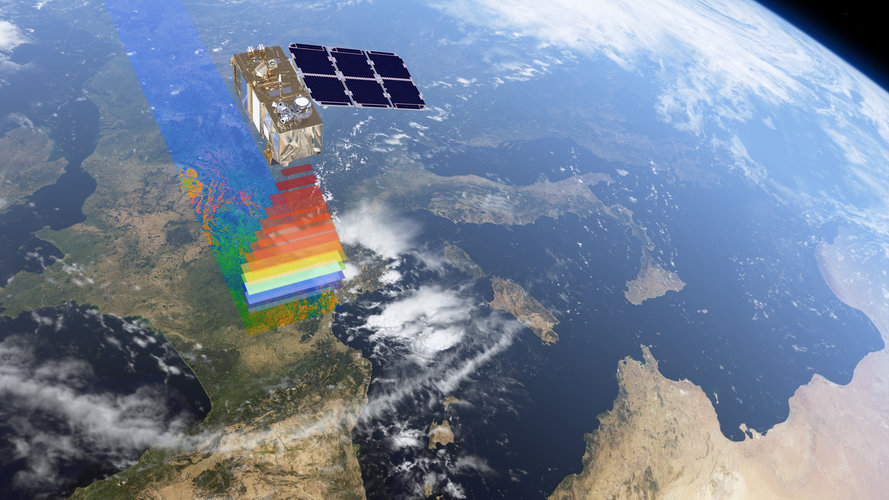
ESA’s Education Office is looking for highly motivated Master’s and Ph.D. students in engineering or science disciplines to participate in the fourth edition of the Earth Observation Satellite Systems Design Training Course. This edition of the training course will also include 15 participants from Africa, selected as part of the broader African Union–European Union strategic…