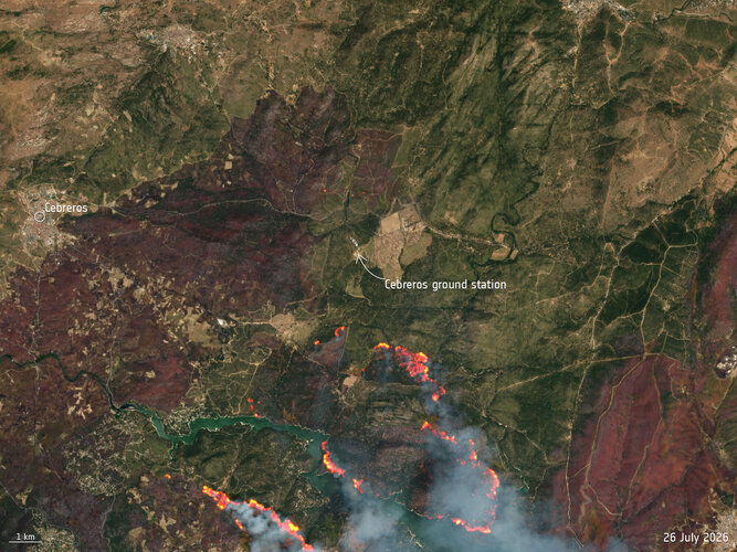
-
The team behind Europe’s latest weather satellite
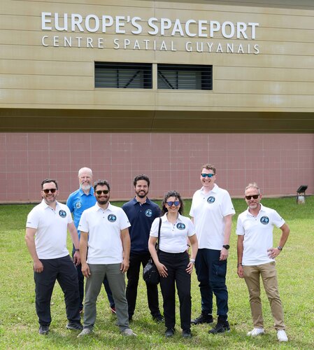
Since the second Meteosat Third Generation Imager satellite (MTG-I2) began its launch campaign last month, it has undergone rigorous pre-launch inspections that ensure the electronic and mechanical systems are working correctly. How does a team of experts, including scientists, engineers, launch coordinators and mission operation specialists, ensure everything is running smoothly behind the scenes, both…
-
Testing GraviTE for its journey to the ISS
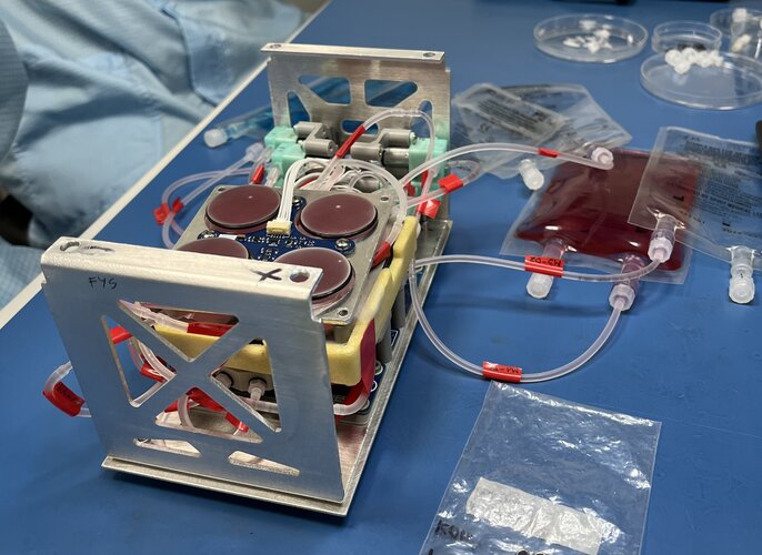
AGH Space Systems team from the AGH University of Kraków has completed a vibration test campaign for its GraviTE experiment at ESA Academy’s CubeSat Support Facility, gaining hands-on experience while assessing how the Engineering Model responds to mechanical loads representative of its journey to the International Space Station.
-
HydroGNSS data open for new insights into Earth’s water
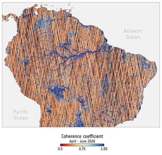
The European Space Agency’s two-satellite HydroGNSS Scout mission has completed commissioning and is now in full scientific operations. Following extensive testing and validation of the satellites, instruments and ground segment, HydroGNSS data are now freely available to users worldwide, opening new opportunities to advance our understanding of water availability and the impacts of climate change…
-
Fyrsti Copernicus sendiherra Íslands
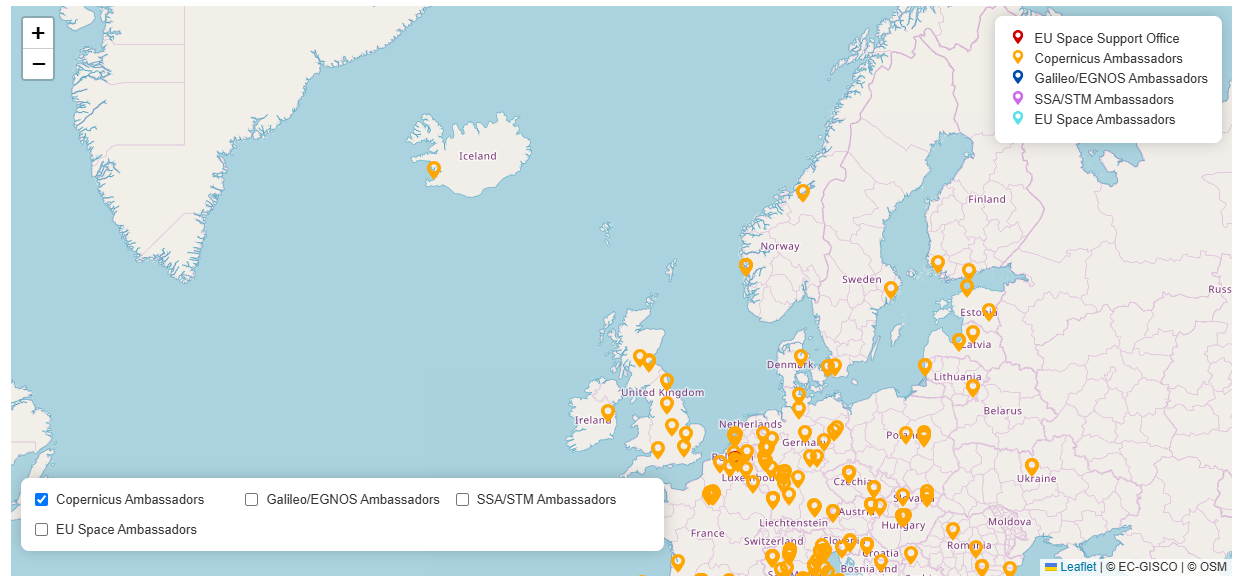
Náttúrufræðistofnun hefur verið samþykkt sem sendiherra Copernicus og er þar með fyrsta stofnunin á Íslandi sem hlýtur þá viðurkenningu innan EU Space Networks. Hlutverk sendiherra Copernicus er að efla notkun gagna, upplýsinga og þjónustu Copernicus á Íslandi og gera þau aðgengilegri fyrir rannsakendur, opinbera aðila, menntastofnanir, fyrirtæki og aðra notendur. Copernicus-áætlunin er hluti af geimáætlun Evrópusambandsins og veitir opinn aðgang…
-
SMOS salinity could offer early indicator of El Niño
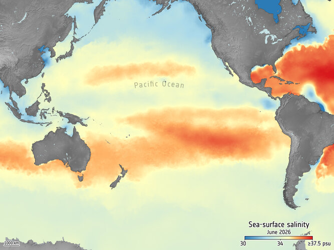
As the Pacific Ocean moves into an El Niño phase, scientists are monitoring changes in sea-surface temperature, but also sea-surface salinity – which is another key indicator of this phenomenon. Measurements from satellites such as the European Space Agency’s SMOS mission are revealing how freshwater and salt patterns shift across the Pacific as this year’s…