-
Call for interest: media programme for FLEX and Copernicus Sentinel-3C launch at Europe’s Spaceport
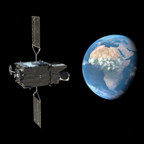
Press Release N° 35–2026 Media representatives are invited to express their interest in attending the media programme at Europe’s Spaceport in French Guiana for the launch of the FLEX and Copernicus Sentinel-3C satellites on a Vega-C rocket (flight VV30). Liftoff is expected to take place in September.
-
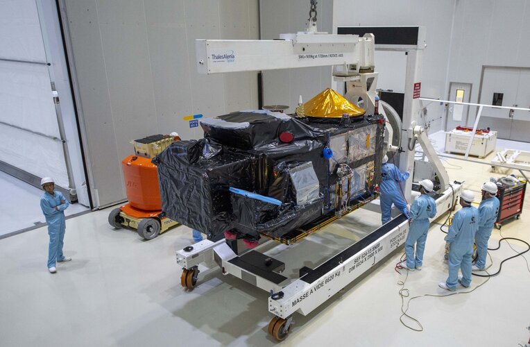
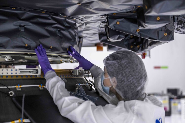
FLEX and Sentinel-3C arrive at Europe’s Spaceport
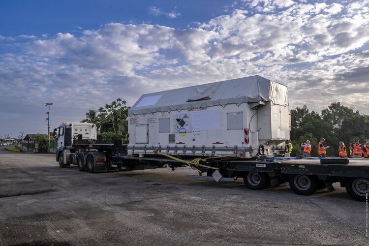
With liftoff scheduled for September, excitement is building at Europe’s Spaceport in French Guiana as two cutting-edge Earth observation satellites, FLEX and Copernicus Sentinel-3C, have arrived to begin their launch campaigns. Over the coming weeks, engineers and mission teams will carry out a series of rigorous inspections and prepare the satellites to be installed atop…
-
Bringing space into the classroom: highlights from the ESA Teach with Space Online Conference 2026
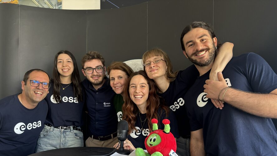
The sixth ESA Teach with Space Online Conference brought together 580 primary and secondary level teachers and educators from ESA Member and Associate Member States as well as Canada on 8 and 9 July 2026. Across two days of online sessions, participants learnt how space can be used to inspire and enrich STEM teaching, while…
-
ESA brings quantum computing to Earth observation
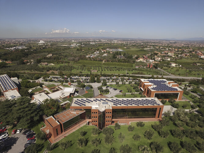
The European Space Agency has installed its first quantum computer, called Bell-1, at its Earth observation centre in Italy. The move marks a significant step in exploring how quantum technology could be merged with classical high-performance computing to improve the speed and efficiency of processing huge amounts of satellite data.
-
Meet the Team: CAPYBARA
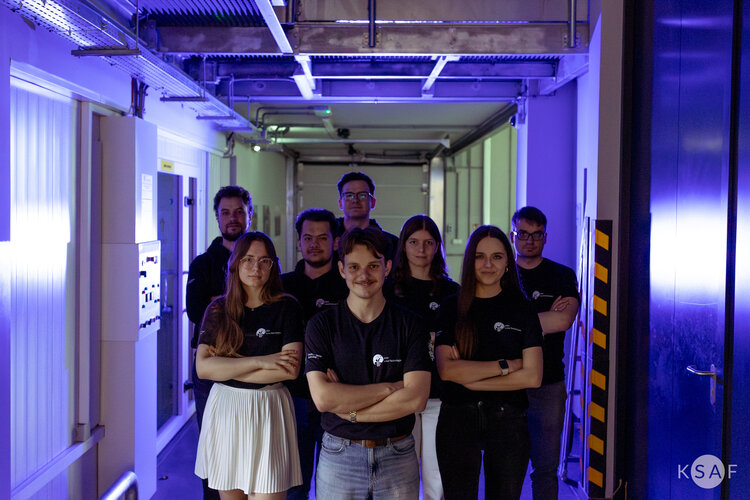
CAPYBARA is an abbreviation for Capillary Absorption and Permeation in Biomimetic Additive Research for Aerospace. The project is being developed by the AGH Lunar-Technologies student engineering research group, dedicated to designing space technologies, from the Faculty of Space Technologies at AGH University of Krakow, Poland. Selected in February 2026, the team, composed of 11 members,…