-
2026 GEO Symposium / GEO-21 Plenary
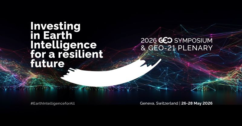
2026 GEO Symposium / GEO-21 Plenary sonia Thu, 18/12/2025 – 09:29 Registration is now open for the 2026 GEO Symposium and GEO-21 Plenary, which will take place 26–28 May 2026 in Geneva, Switzerland. Held under the theme “Investing in Earth Intelligence for a Resilient Future,” the 2026 GEO Symposium and GEO-21 Plenary will convene governments, space agencies, research…
-
Apply for ESA/ELGRA Gravity-Related Research Summer School 2026
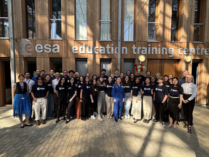
The ESA/ELGRA Gravity-Related Research Summer School offers a comprehensive overview of microgravity and hypergravity research. Hosted by ESA’s Education Office and the European Low Gravity Research Association (ELGRA), the next edition will take place from 15 to 26 June 2026, combining one week of onsite activities with one week of online learning. The Summer School…
-
First image from Sentinel-6B extends sea-level legacy
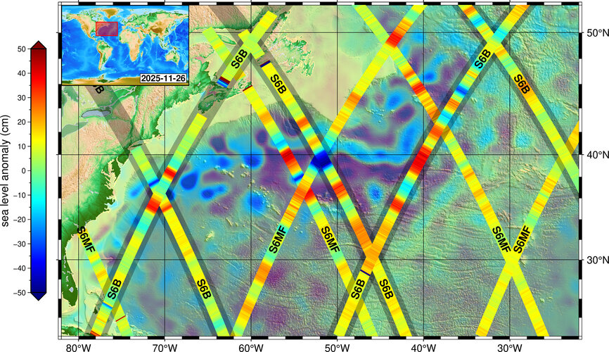
Copernicus Sentinel-6B, launched last month, has reached its orbit and delivered its first set of data, which show variations in sea level in the North Atlantic Ocean. This data underlines how the mission will continue to strengthen the long-term reference record of sea levels, a key parameter of climate change.
-
Copernicus Marine Survey
Copernicus Marine könnun hefur verið sett af stað á Íslandi til að læra meira um notendur og notkunartilvik á Íslandi. Gefðu okkur tækifæri til að læra hvernig við getum haldið betri viðburði og búið til betra kennsluefni! Láttu okkur vita! A Copernicus Marine Survey has been launched in Iceland to learn more about the users…
-
Satellites help tackle landfill methane leaks

Satellites are emerging as a powerful new tool in the fight to curb emissions of methane. While methane is much shorter-lived in the atmosphere than carbon dioxide, it is vastly more potent at trapping heat, which makes rapid cuts essential for slowing warming in the short term. The same satellite technology that has transformed methane…
-
Apply for the CubeSat Concurrent Engineering Workshop 2026

ESA Academy invites teams of motivated university students to apply for the CubeSat Concurrent Engineering Workshop 2026. This five-day event will take place from 23 to 27 February 2026 at ESEC-Galaxia, Belgium, and offers a unique opportunity for students who are starting or planning a CubeSat project to gain hands-on experience in concurrent engineering. The…