-
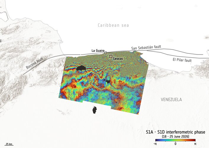
Time to say goodbye to Sentinel-1A
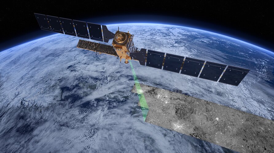
After 12 years of exceptional service, the pioneering Copernicus Sentinel-1A radar satellite has reached the end of its mission. Originally designed for a seven-year life in orbit, the satellite has exceeded expectations, not only by its longevity, but through the extraordinary impact of its data, which have deepened our understanding of our changing planet and…
-
Meet the Team: RobOcto
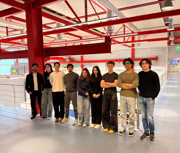
Team RobOcto consists of 10 Bachelor students from the University of Twente who share a strong interest in space exploration and technology. The project focuses on developing a new way to capture and remove space debris, one of the major challenges facing modern space missions. The team has been selected in February 2026 for the…
-
Human Space Physiology Training Course 2026
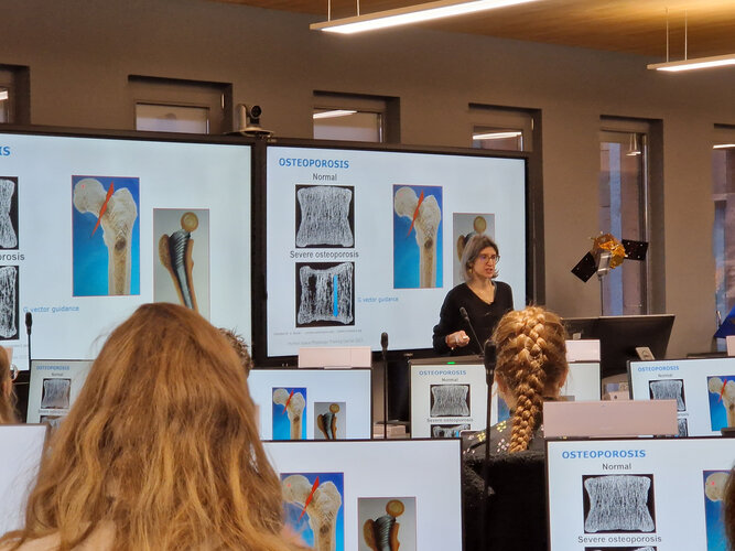
The Human Space Physiology Training Course provides university students with a comprehensive introduction to the physiological challenges of human spaceflight. Participants will explore how the human body responds and adapts to microgravity, the space environment, and long-duration missions, as well as the countermeasures developed to protect astronaut health and performance. The course also examines the…
-
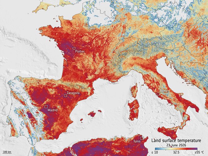
Europe faces the heat
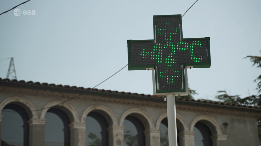
Video: 00:02:07 Europe is facing an intense heatwave, with record temperatures and several cities under red alert. On 23 June, France recorded its hottest June day ever. This image was captured the same day by the Copernicus Sentinel-3 satellite, which measures land surface temperature from space. Unlike air temperature, land surface temperature shows how hot…
-
A first: EarthCARE cloud data sharpen weather forecasts

The European Space Agency’s EarthCARE satellite was developed to make a unique set of simultaneous measurements that shed new light on the role that clouds and aerosols play in regulating Earth’s climate. Now, in a remarkable example of a research mission delivering direct practical benefits, global observations from the satellite’s cloud profiling radar are being…
-
20 years of ESERO: bringing space to millions of students

In 2006, ESA launched the first European Space Education Resource Office (ESERO) in the Netherlands. Its mission was clear and ambitious: support teachers to use the excitement of space to inspire students to engage with science, technology, engineering, and mathematics (STEM). Two decades later, ESERO has grown into ESA’s largest and most influential school-level education…